Do you Know Where the Mineral Owner Interest Stops?
A well-rounded petroleum landman should be very familiar with understanding where the mineral owner interest stops underneath streams and rivers compared to navigable waterways. For example, consider this example: There is a river in Oklahoma that separates two properties. Where does the mineral owner interest lie around or under the river? First, one would have to determine if the waterway is considered a ‘navigable waterway’ or not before he or she could answer that question.
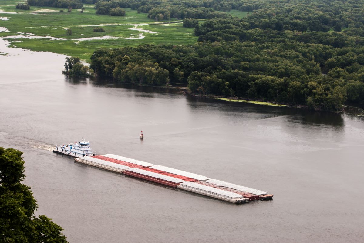
A good place to start is how to recognize a navigable waterway versus a river or stream. The definition of a navigable waterway is a waterway that is presently used, or has been used in the past, or may be susceptible for use to transport interstate of foreign commerce. However, many major rivers have been found to be “non-navigable,” such as the Red River between Oklahoma and Texas, which is surprising to many landmen.

Another criterion for a waterway to be classified as “Navigable” in Oklahoma, for example, is that it must be wider than 132 feet. The Oklahoma Statutes (Title 64 No. 290) declare that all streams of two Chains (132 ft.) and over between the mean high-water marks are State Property.
One quick way you can tell if a river or stream is a navigable waterway is to look at the original survey plat map off the Bureau of Land Management’s website. You’ll want to look at the land you are chaining title on to see if there are any government lot numbers in each tract where the waterway runs through it. Here is an example of the Arkansas River original survey plat map which shows the governments lots on its banks (see red arrows – not all are shown but are on the map) along with the adjusted total mineral acres in the section (434.65 acres).

The primary issue for the petroleum landman is to be able to make the determination between waterways in order to determine the mineral ownership associated with them. For example, a simple description is that if the waterway is considered a ‘navigable waterway,’ the mineral owner would own to the waterway’s bank and the state or federal government would own the minerals underneath the waterway. Private ownership stops at these lines.
When such a navigable waterway cuts into any quarter-quarter to less than 40 acres it is designated as a ‘Lot’ and is assigned a number. The numbering system is not uniform in Oklahoma, but generally numbering starts farthest up the river on the right bank then down the river to the Section Line and back up the opposite bank. Numbering starts a new in each Section. If there are ‘Correction Lots’ in the Section, these Government Lots are numbered first and then the numbering is continued along the river.
In a non-navigable waterway, the mineral owners own the minerals to the center of the waterway, unlike to the banks of the navigable waterway.

You can see this image of the original survey plat map where it depicts a river but without any government lots on each side. This represents a “non-navigable waterway” whereby the mineral owners own the minerals to the center of the river.

In a case where these navigable and non-navigable waterways exist, metes and bound legal descriptions would be used to describe each bordering property. An important note for the landman is to be sure to check for any legal issues regarding riparian rights between these mineral owners.

To learn more about with different critical title issues, visit our website at www.InstituteOfEnergyManagement.com. View our course catalog and chose the Combined Title and Leasing Essentials.